Words and photos by Sam Katovitch
Every summer leading up to my permanent move to Philadelphia, my family would spend a week or more in the Adirondack Mountains of New York. We always took the same route every year, stayed at the same lodge, sang the same songs on the five-hour road trip, but climbed different mountains, kayaked different lakes, and walked different paths from the years before. Ordinarily we would all go together on these adventures, but starting in 2016 I would drive myself since I had my own car – a beat-up old tank of a Subaru named Roz. One day during the week we spent there in 2016, my family decided to spend the day recuperating from the hike we had taken the day before, but I was feeling antsy and decided to strike out on my own. My fascination with abandoned buildings had also begun that year so my dad suggested I check out the old mining town at Tahawus. Few photos of this can be found online, though some conservation is underway, mainly at the ironworks there. I agreed it was a cool idea and set out with my film camera and hiking boots.
The nearest town to the abandoned mine was Newcomb, and then from there the road turned off into the wilderness and meandered another fifteen miles or so up into the High Peaks region – the road doubled as a trailhead for several High Peaks climbs, including Mt. Marcy. After twisting through the woods for a few miles, I encountered the old railroad leading from the mines down to Raquette Lake, the nearest rail hub. The road crossed the tracks twice as it wound its way through the woods. It was clear that the tracks weren’t in service anymore, not since the mine’s closure in the 60s – the ties were rotted and the rails were rusty. There was even a rusted barricade welded to one rail to stop stray train cars. It was a strange feeling, being able to stop my car in the middle of the crossing and not worry about a train coming out of nowhere, and it made my hair stand up, just a little.
Another mile or so down the road, I encountered a washout. A stream had burst its banks further up the mountain to the left of the road and washed away the macadam entirely. The other end of the break wasn’t visible. I assessed the way forward and decided to try it. My stubborn old Subaru and I battled through the washout for nearly a mile before the slide cleared and the road resumed. I was tired and the wagon was spattered with mud but I pushed on.
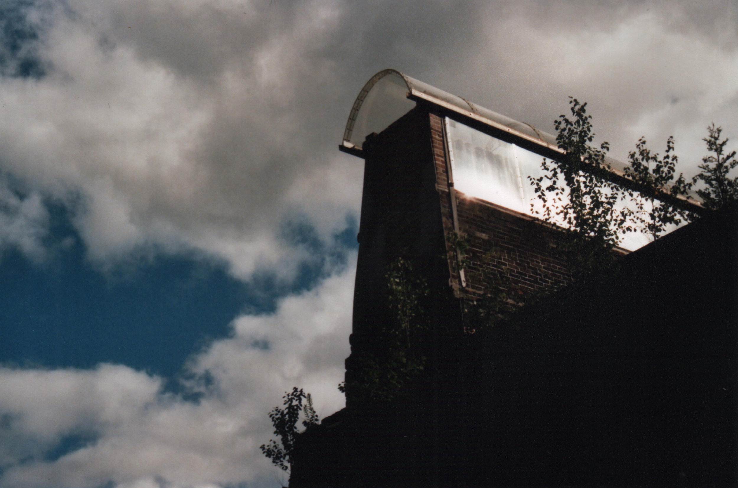
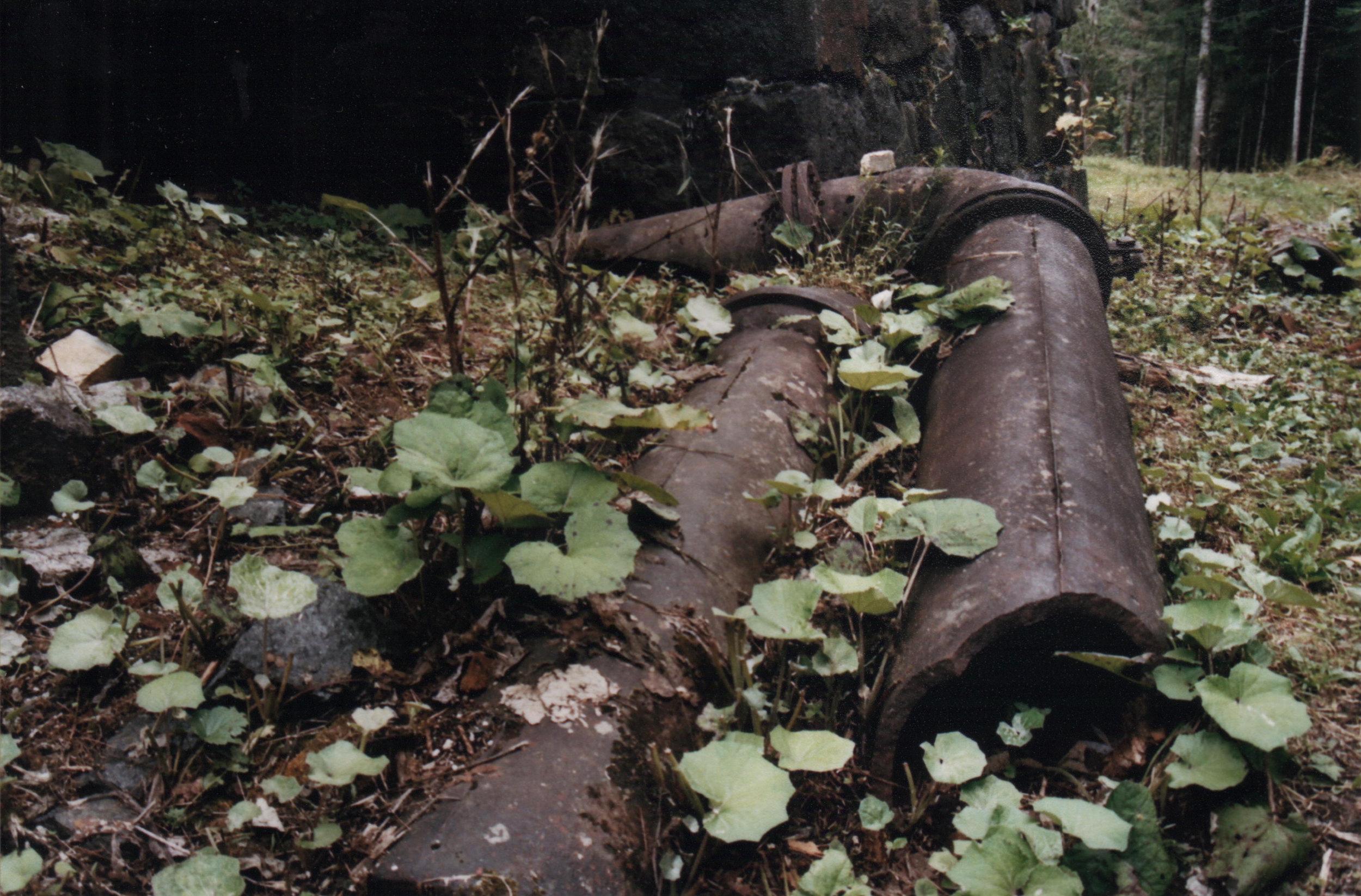
After some signs indicating the last trailhead, I saw the blast furnace, the only actively conserved part of the abandoned village. It was a pillar of cut stone with a huge cavern in the base, and it was still soot-darkened even after years in the elements. I regret that I didn’t take more pictures of the furnace but I was saving my energy and film, hoping for more luck at the ghost town further on.
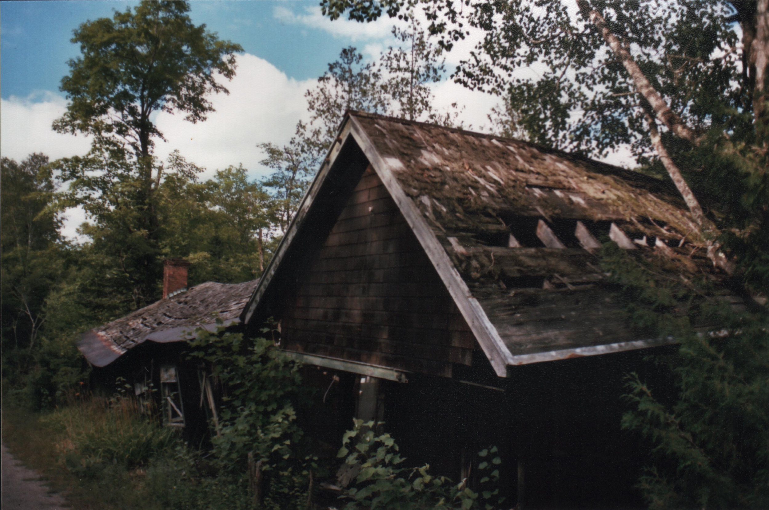
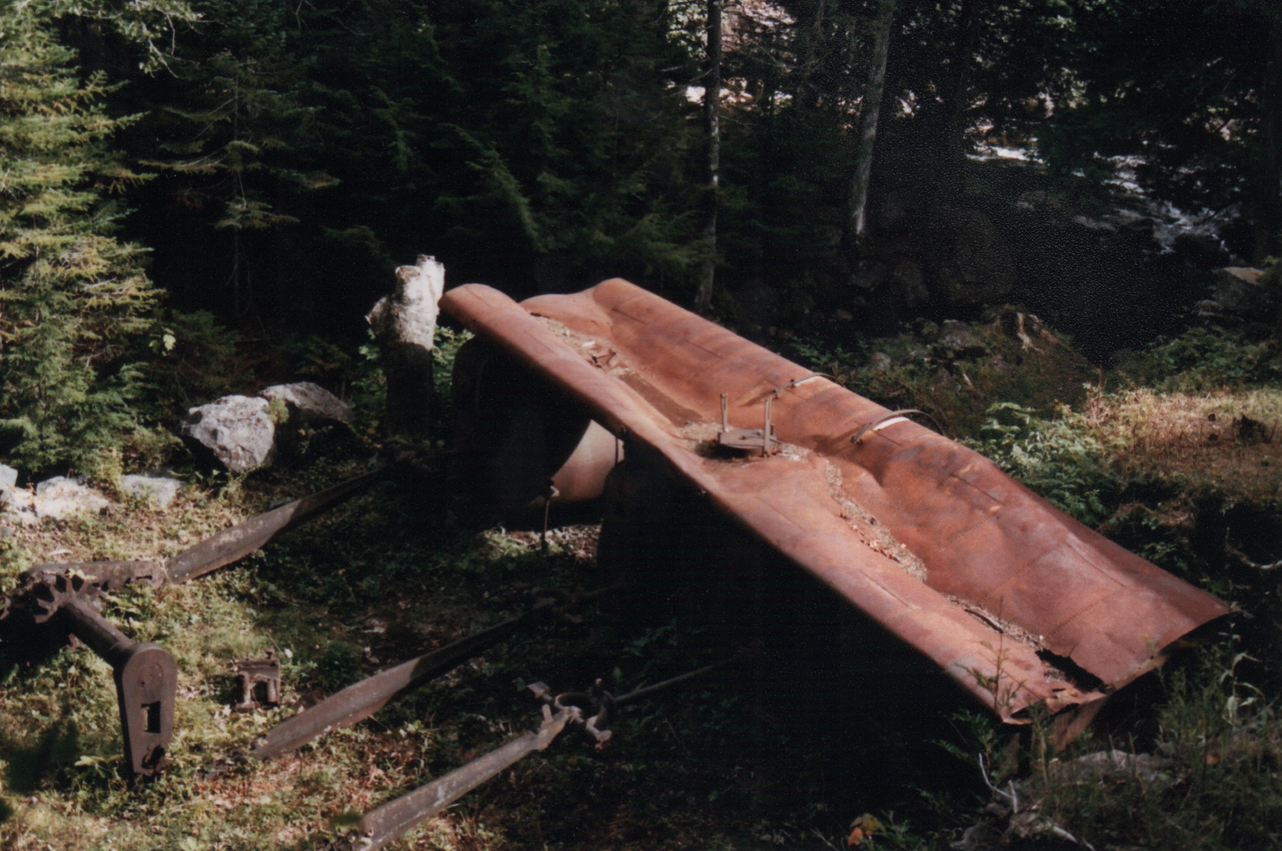
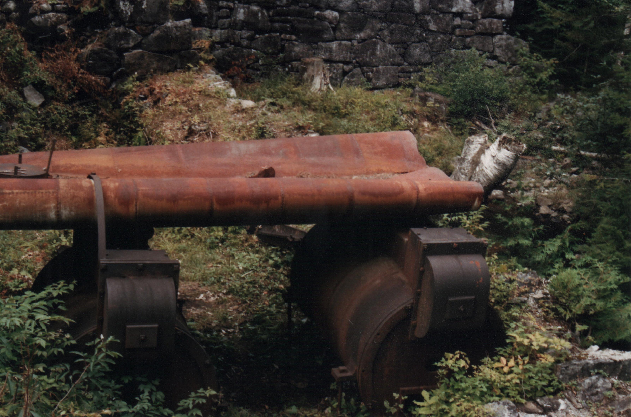
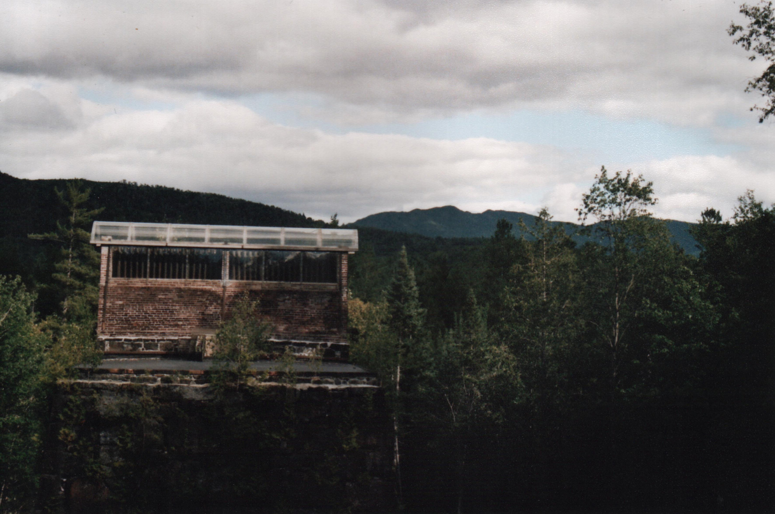
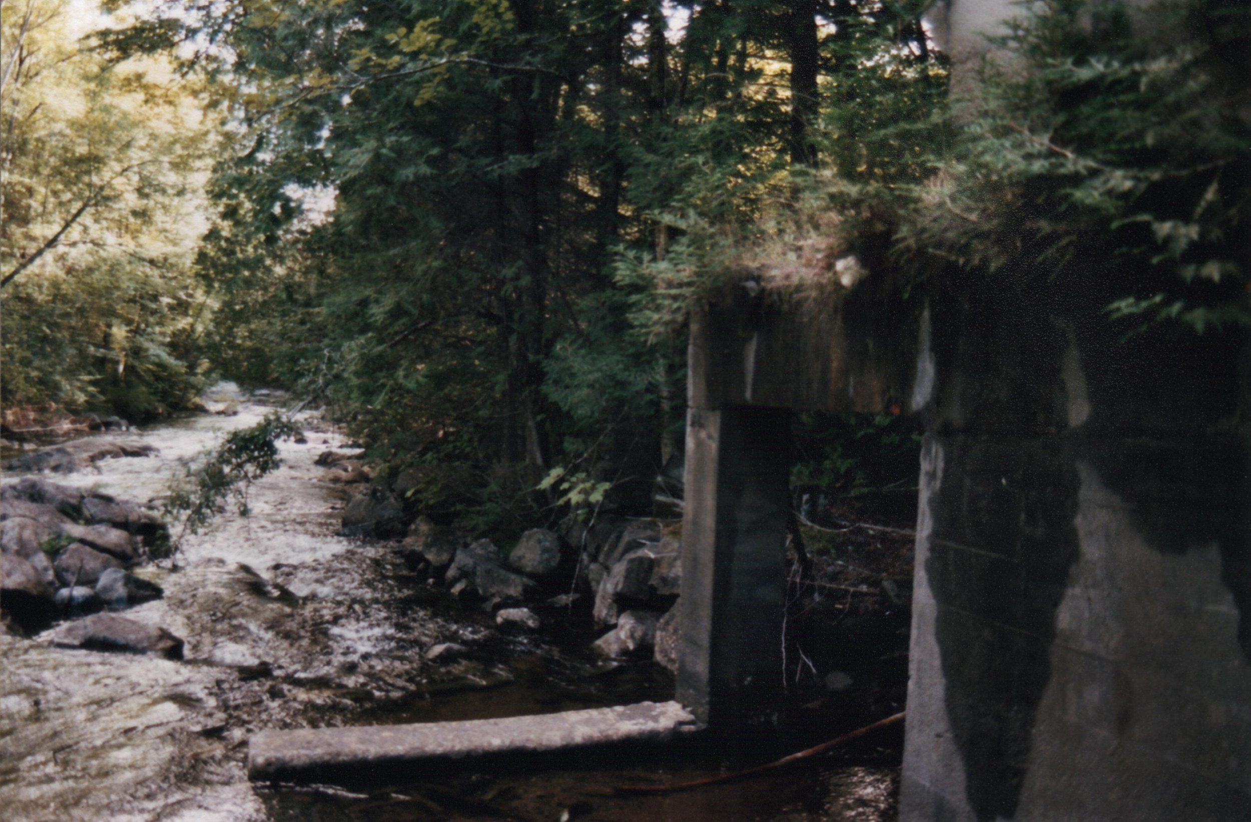
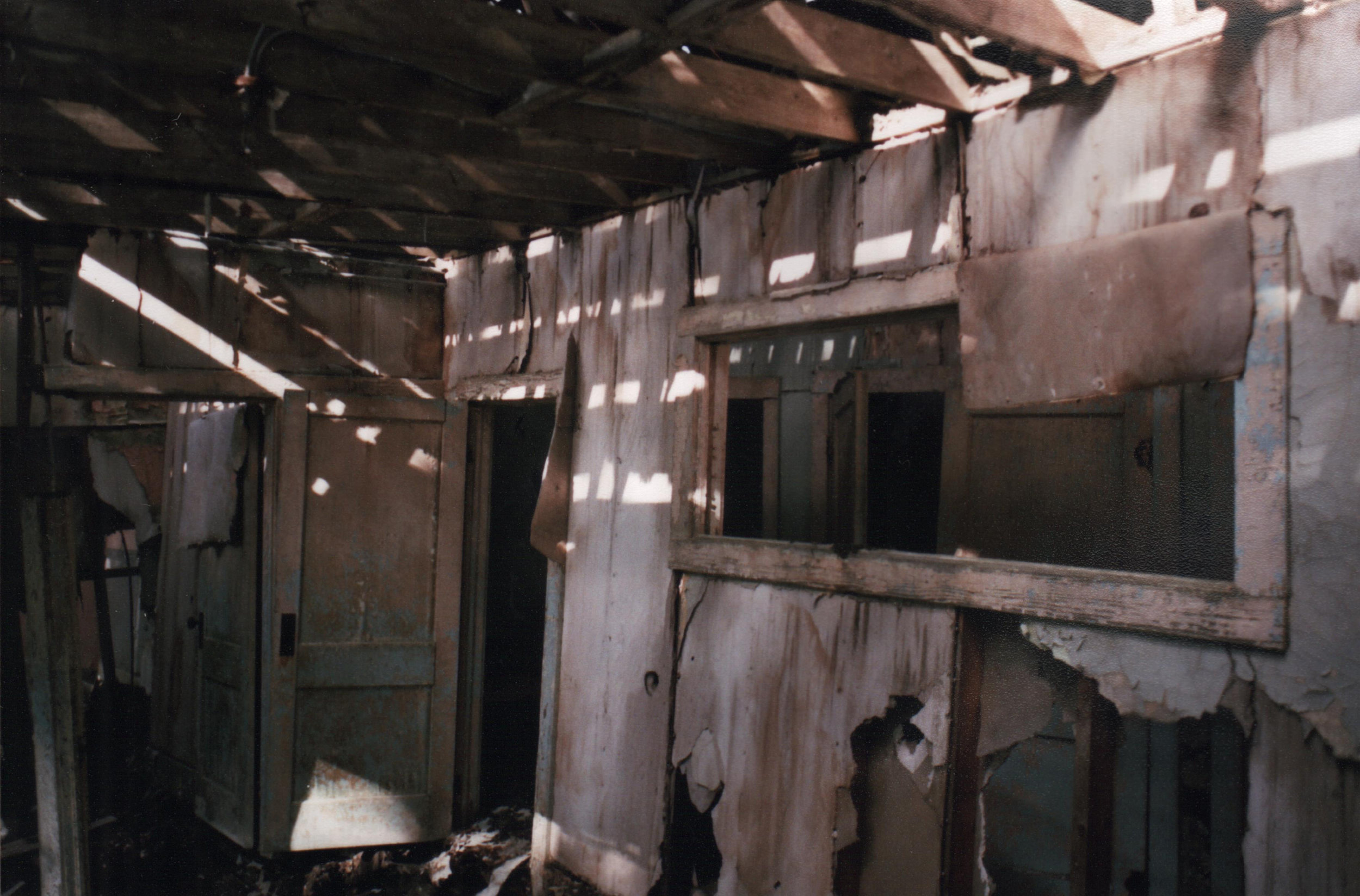
The ghost town itself was so much more than I could have expected. I was anticipating a handful of buildings, all in varying states of disrepair. Instead, I found a dozen intact buildings that had been opened by the elements, exposing their interiors to the outside, as well as the foundations and masonry from the old mill and waterwheel at the creek. The rushing stream was full from the rain, but the piers of the mill still stood there, a dozen feet from the bank, and connected by a few crumbly arches of stone. The creek bed was littered with fallen stones from masonry that had already perished.
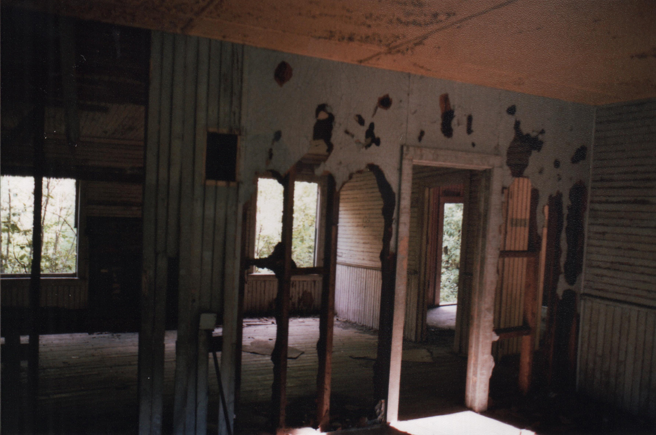
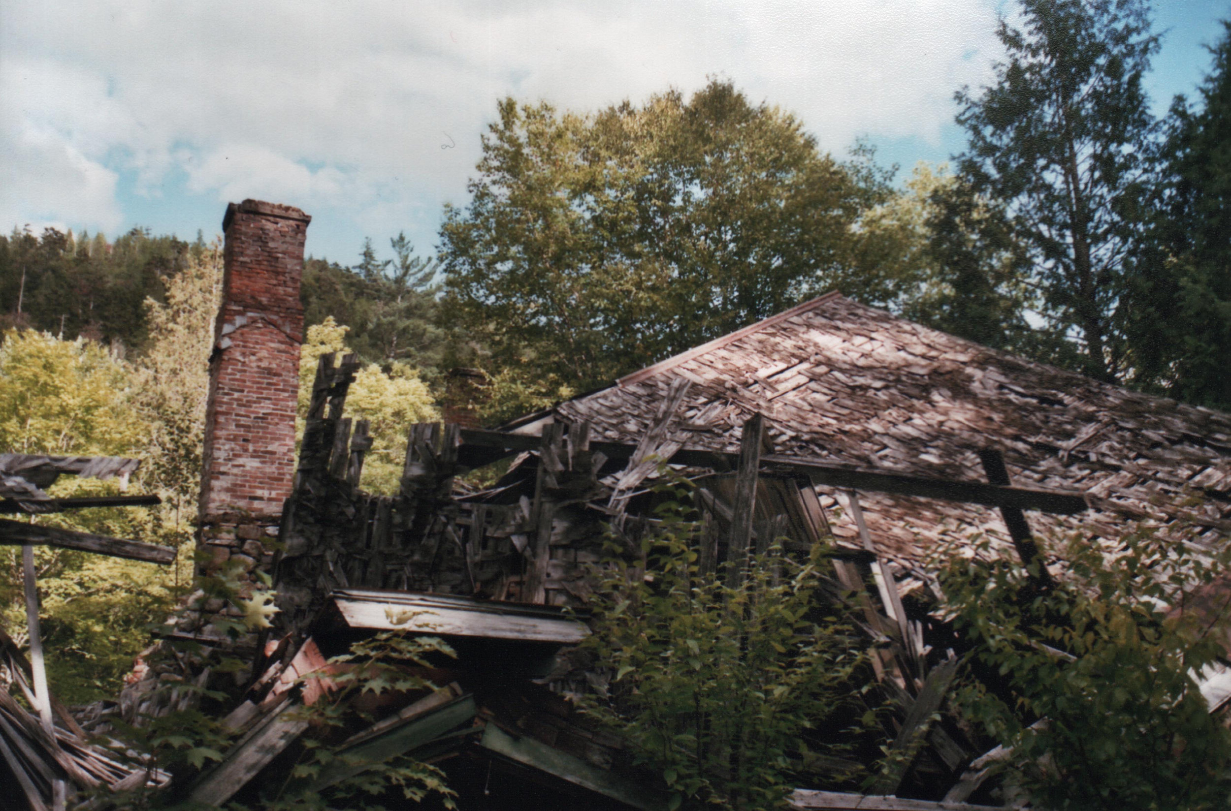
The houses were mostly built between the 1940s and 60s, and the cheerful pinks and turquoises of the midcentury wallpaper and tiles were incongruous among the green of the forest, even as they were softened at the edges by the relentless work of the elements. I didn’t go into any buildings for fear of falling through a floor and breaking my neck, but I used several rolls of film and took dozens of photos with my phone. There is no conservation effort being made on the village itself, and the Park Service seems content to let the buildings fall into elegant – and photogenic – disrepair, ultimately being reclaimed by the forest. No doubt going back now, even only three years later, would yield a very different experience. Seeing those old buildings as intact as they were was special, but being able to see the interiors from the exterior wasn’t promising of their overall integrity and life expectancy. Nobody knows how many more harsh Adirondack winters the houses will survive until they’re nothing but foundation stones.
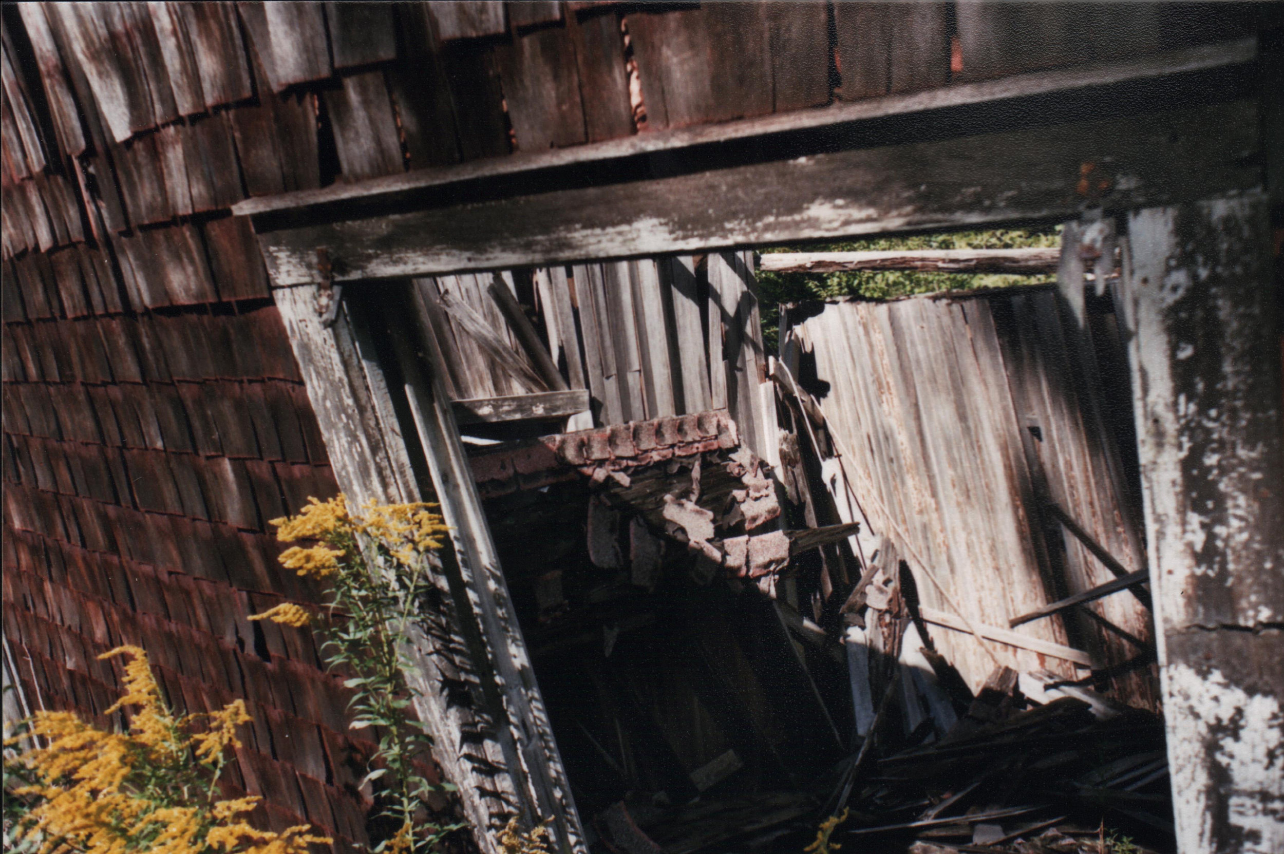 Tilt – This house was on the verge of falling over into the road
I spent hours wandering around the old houses and offices, imagining what the lives that once occupied them must have been like. Even now in this age of connectivity this place was basically off the edge of the map, so I could only imagine the isolation the miners must have experienced back in the ‘40s and ‘50s. Eventually though, I made my way back to my car and returned the way I’d come. Only when I got back across the washout ten miles later and received a dozen text messages all at once did I realize that I had had no cell service ever since passing the train tracks on the way in.
Sam is our resident film-camera expert. The images in this article were taken on film—yes, real film!

